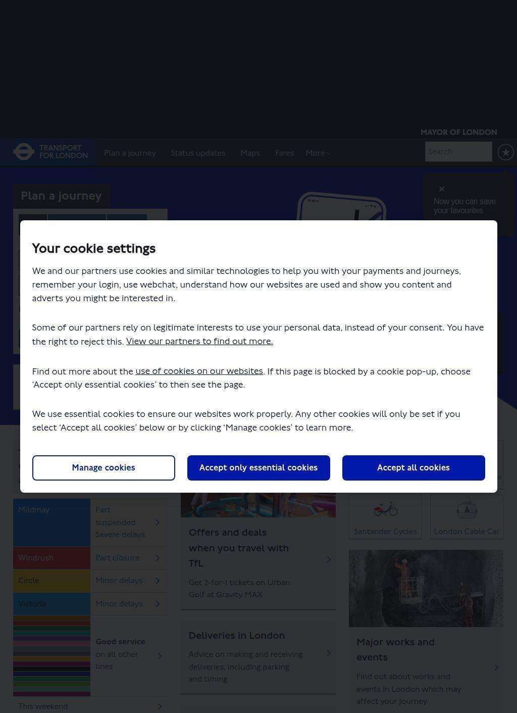
Can a single website actually run the whole of London's transport? It comes close. Transport for London is the statutory body that keeps the city moving, working under the Mayor of London and the Greater London Authority, and tfl.gov.uk is where almost all of that machinery surfaces for the public. The site is the front door to the Underground's eleven lines and 272 stations, more than 700 bus routes, the Docklands Light Railway, London Overground, the Elizabeth line, trams, river services, the Emirates Air Line cable car, and the Santander Cycles hire scheme. That is a remarkable spread for Transport for London to hold in one place, and most of it is reachable within a click or two.
Journey planning across London's transport modes
The piece people reach for first is the journey planner. Type a start and a destination and Transport for London routes you across every mode at once, drawing on live network conditions, so a closure or a delay changes the suggested route. Sitting alongside it are the live status boards, broken out by tube, rail, bus, tram and roads, which is the page Londoners refresh on a bad morning to find out whether their line is part-suspended before they leave the house. The interactive maps cover the same ground visually. The separation of status by mode is genuinely useful, because a problem on the Northern line tells you nothing about whether the buses are running, and Transport for London never pretends otherwise.
Live status boards by network type
Payment is the other area Transport for London has folded into the site cleanly. You can manage an Oyster card or a contactless account, check balances, see journey history and sort out refunds for incomplete touches, all from the same login. For a network that processes millions of journeys a day, getting that account layer to behave is no small thing, and it works without forcing you out to a separate portal.
Managing fares and payment accounts
Less expected is how much of the site is built for people who are not trying to get from A to B today. There is a substantial accessibility layer: step-free route guides that let you plan a journey avoiding stairs and gaps, plus details on Dial-a-Ride, the door-to-door paratransit service for people who cannot use mainstream public transport. Cyclists get dedicated infrastructure maps, and the Santander Cycles scheme is documented here too, so the planning and the hiring sit in the same neighbourhood.
Step-free routes and paratransit services
Transport for London also publishes the unglamorous but important stuff: calendars of major works and planned closures, so you can see weeks ahead when a stretch of line will be shut for engineering. That kind of forward visibility is exactly what a regular traveller needs and exactly what most operators bury. The TfL Go app, available on iOS and Android, carries the live arrivals and journey planning into a phone-shaped form, and the site points to it without relegating mobile to an afterthought.
Planning ahead with closures and engineering works
The regulatory reach of Transport for London is wider than the trains and buses suggest. The body oversees the Transport for London Road Network, the Congestion Charge zone and the Ultra Low Emission Zone, and it regulates taxis and private hire, meaning black cabs and minicabs alike. The site explains the charging zones, the boundaries and the payment routes, which is useful to anyone driving into central London who would rather not collect a penalty by accident. ULEZ in particular generates a lot of questions, and the pages answer them in plain terms.
Open data APIs for third-party apps
For people who build things, there is a developer side that deserves a mention. Transport for London runs open data APIs, and a good slice of the third-party transport apps Londoners use are pulling their live data from exactly that source. Publishing the feeds openly, rather than hoarding them, is a decision that quietly improved the whole ecosystem of travel tools across the city.
Corporate transparency and governance
The corporate and governance material is all here as well, which fits a public body answerable to the city. You can read annual reports, follow press releases, look at procurement opportunities, respond to planning consultations and browse careers. There are sections on sustainability and air quality, tying back to the emissions zones and the broader push to clean up London's air. None of this is hidden behind a separate corporate microsite; it lives on the same domain as the journey planner, which keeps Transport for London's public face and its accountability in one place.
Worth saying plainly: the sheer breadth is both the strength and the occasional frustration. A site that has to serve a tourist checking the tube map, a wheelchair user planning a step-free route, a fleet operator working out Congestion Charge liability, a developer registering for an API key and a journalist hunting a press release is carrying an enormous amount, and the navigation has to work hard. For the most part it holds together, partly because the search and the journey planner give most visitors a fast path to what they came for. The status boards and the planner are the load-bearing features, and they are the ones kept sharpest.
Accessibility as a core function
The accessibility provision stands out. Step-free planning is treated as a first-class function rather than a footnote, and Dial-a-Ride appearing within the same offering shows that Transport for London takes mobility across the whole population seriously, including people who never get near a rush-hour platform. That depth is hard to find on transport sites elsewhere, where access information is often a stale PDF if it exists at all.
If you are visiting London, the practical core of what you need is on tfl.gov.uk: plan the journey, check the status before you set off, sort out a contactless or Oyster fare, and consult the closures calendar so a weekend engineering shutdown does not strand you. If you live there, the same tools plus the app cover the daily grind, and the regulatory pages answer the driving and charging questions. The open data feeds make Transport for London useful even to people who never open the site directly, because they are riding on apps built from its numbers.
One detail captures the scale of what Transport for London is coordinating. Eleven Underground lines, 272 stations and more than 700 bus routes, plus rail, trams, river, a cable car and a bike-hire fleet, are all surfaced through a single journey planner that updates as conditions change. That is the spine of the site, and everything else hangs off it.
Business address
Transport for London
5 Endeavour Square,
London,
Greater London
E20 1JN
United Kingdom
Contact details
Phone: +44 343 222 4444