Turning satellite data into pictures people can read
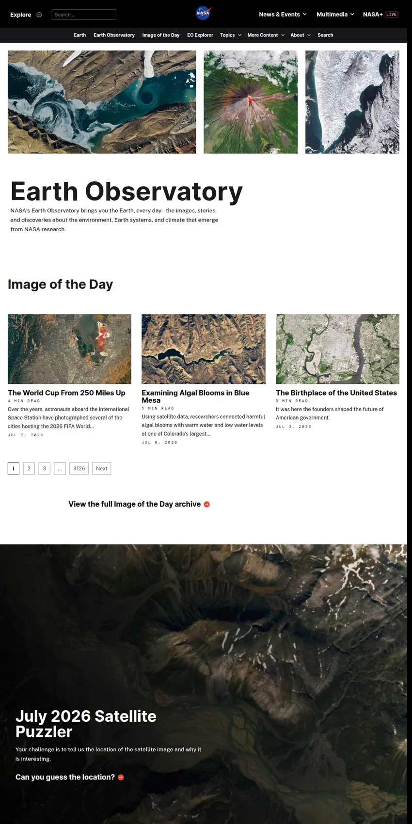
A set of NASA satellites sweeps over the planet each day and records things the human eye would never catch on its own: the temperature of the ocean surface, the green pulse of growing crops, smoke drifting off a wildfire, the slow retreat of a glacier. Most of that arrives on the ground as columns of numbers. NASA Earth Observatory exists to turn those numbers into a single clear image and a short piece of writing that explains what you are looking at and why it matters.
The site went online in April 1999 as a free, public window onto NASA's Earth science. Its job is to share the images, stories, and discoveries about the environment, Earth systems, and climate that come out of NASA research. Everything it publishes is free to read, and because it is a U.S. government product, most of the imagery can be reused by teachers, journalists, and scientists as long as NASA is credited. That open policy is a big part of why its pictures turn up so often in textbooks and news reports.
What you will find there
The best-known feature is the Image of the Day, a single captioned scene posted every day of the year. One morning it might be a plankton bloom curling through the Barents Sea. The next it could be a nighttime view of a city grid or the ash plume from an erupting volcano. Around that daily anchor sit several other collections.
- Feature articles that walk through a research finding in depth, written for a general reader rather than a specialist.
- World of Change, a set of image series that track one place over years so you can watch a coastline, forest, or lake shift over time.
- Global Maps, month-by-month views of planet-wide measurements such as vegetation, rainfall, fire, and sea surface temperature.
- The Earth Matters blog, where the staff answer reader questions and post images that did not become a full story.
The observatory also runs a natural-hazards section that flags floods, fires, storms, and eruptions as they happen, drawing on an event tracker known as EONET. A companion tool, NASA Earth Observations (NEO), lets anyone download the underlying global datasets as images.
Where the images come from
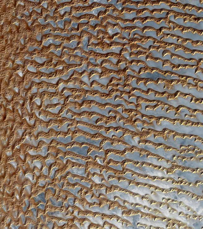
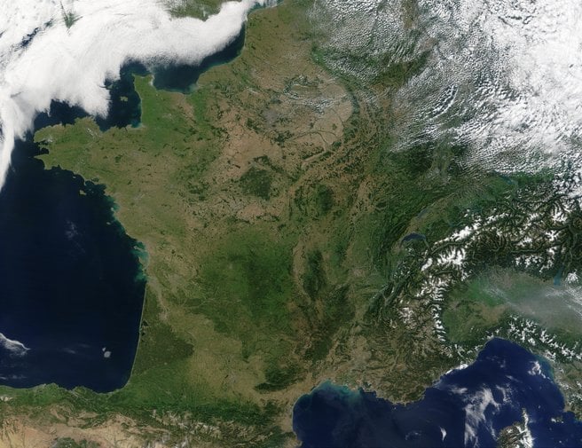
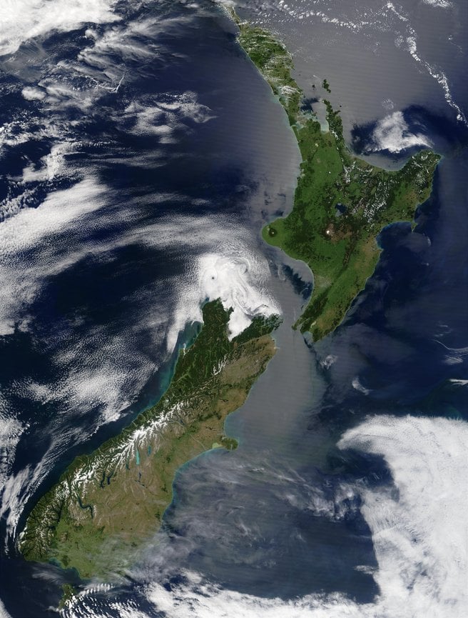
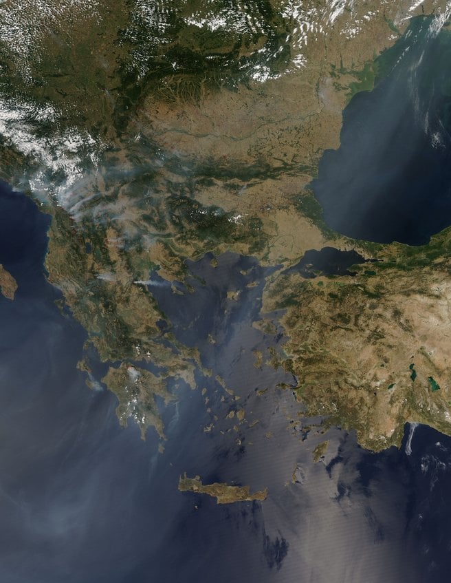
The pictures are built from real measurements, not artists' impressions. Much of the daily imagery comes from the MODIS instruments aboard the Terra and Aqua satellites and from VIIRS aboard Suomi NPP, with sharper detail supplied by the Landsat program that NASA runs with the U.S. Geological Survey. Data visualizers on the staff take the raw satellite files, correct and color them so they read the way a person expects, then hand them to writers who add the context. The result looks like a photograph, but it is closer to a carefully translated document.
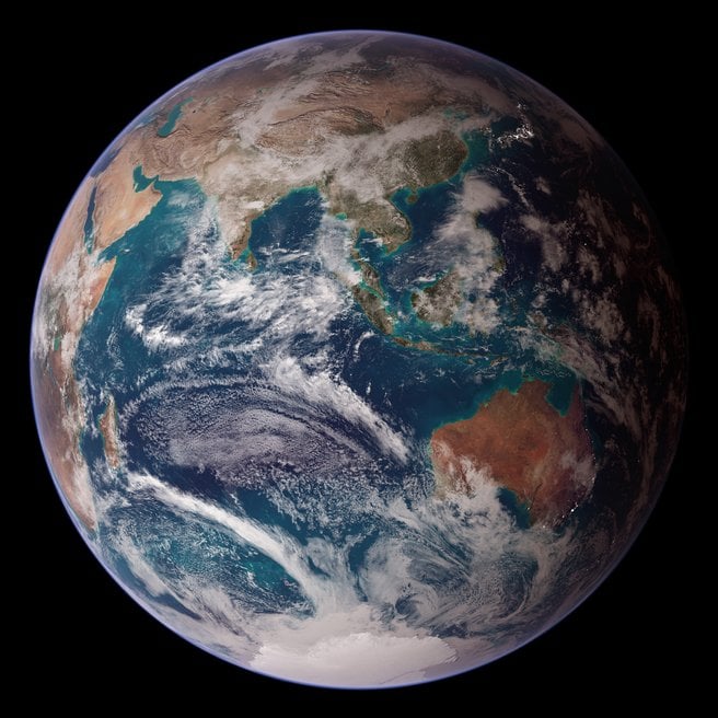
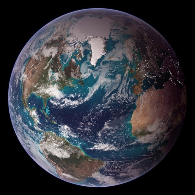
One of the site's most widely seen products is the Blue Marble, a nearly cloud-free composite of the whole planet stitched together from months of satellite passes. Versions of that image have ended up as phone wallpapers, textbook covers, and news graphics around the world, often used by people who have no idea it began as a data project at Goddard. It is a fair example of what the observatory does: take something technical and make it ordinary enough to live on a screen.
Who runs it
NASA Earth Observatory is produced by a small team inside the EOS Project Science Office at NASA's Goddard Space Flight Center in Greenbelt, Maryland. Kevin Ward, who helped start the site, leads the Earth Observatory group. Kathryn Hansen works as managing editor, alongside science writers such as Adam Voiland and data visualizers including Lauren Dauphin and Michala Garrison. It is a modest operation for its reach: a handful of writers, visualizers, and developers publishing to a worldwide audience. The work has been recognized more than once, including several Webby People's Voice Awards in the education category during its early years.
For a directory shelved under ecology, the observatory earns its place by being one of the clearest public records of how the planet's living systems are changing. Its archive, going back to 1999, is a running visual diary of droughts, blooms, deforestation, ice loss, and recovery, all sourced from instruments in orbit and all free to consult. Scientists use it to reach the public; teachers use it in class; reporters use it when a flood or a fire needs a picture that can be trusted.
Where to reach NASA Earth Observatory
The group works out of NASA's Goddard Space Flight Center, 8800 Greenbelt Road, Greenbelt, Maryland 20771, the center's main campus northeast of Washington. Goddard's public line is +1 301-286-2000. The observatory itself lives online at earthobservatory.nasa.gov, where the Image of the Day, feature stories, global maps, and the full image archive are open to anyone, and where a contact page routes questions to the editorial team. If you want to know what a satellite saw yesterday and what it means for the Earth beneath it, that address, on the web and in Greenbelt, is where the translation happens.
Business address
National Aeronautics and Space Administration
8800 Greenbelt Road,
Greenbelt,
Maryland
20771
United States
Contact details
Phone: +1 301-286-2000